IMG_6378
Real-time sensors + AI analytics in one dashboard.

IoT Monitoring for Buildings & Infrastructure

Real-time sensors + AI analytics in one dashboard. Detect leaks, moisture, movement, and anomalies early - before they become emergencies.

scott-blake-1GW45VDkFI0-unsplash
Home
SEE MORE. FIX SOONER.

Scan & Verify (Drone / LiDAR / Thermal)

When monitoring flags risk, we validate fast with thermal, LiDAR, and high-res visual inspections - mapped, prioritized, and report-ready.

george-kroeker-9qFR0Sd1oIc-unsplash.webp
Home
DESIGNED FOR WHAT’S NEXT

Reporting, Integrations & Solution

CAD/BIM/GIS-ready exports, web viewer, and structured incident history - so teams and stakeholders act on the same evidence.

IoT Monitoring & AI Alerts

Real sensors track water, environment, movement, vibration, and equipment health across your assets. AI detects abnormal trends early, reduces noise with persistence logic, and triggers actionable alerts by zone and severity.

Scan & Verify (Thermal / Drone / LiDAR)

When monitoring flags risk, we validate fast with targeted thermal, drone, and LiDAR checks. Confirm the issue, map the affected area, and capture evidence that’s ready for engineers, contractors, and stakeholders.

Reporting, Integrations & Workflows

A single portal for live status, incident history, and stakeholder reporting. Shareable reports, role-based access, and integration-ready outputs help teams move from manual updates to repeatable, data-driven operations.

Gemini_Generated_Image_egmek7egmek7egme
INTELLIGENT INFRASTRUCTURE SOLUTIONS

LiDAR, 3D & AI-Powered Infrastructure Insights

image.webp

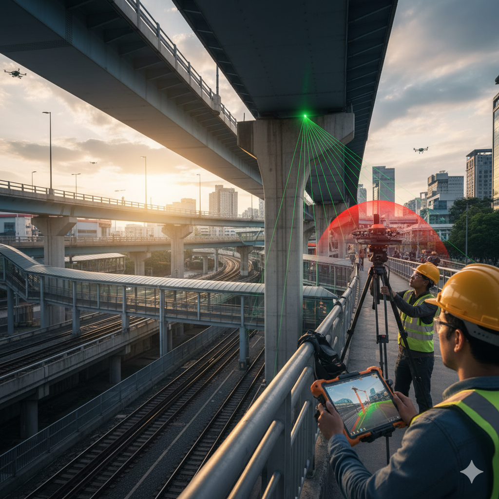
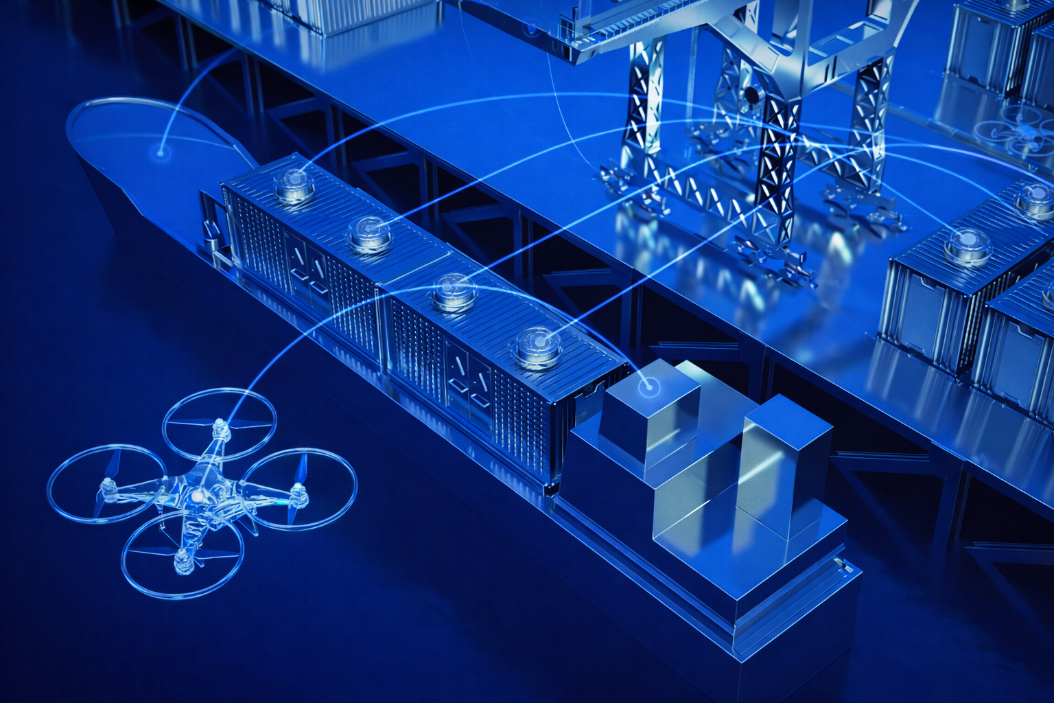
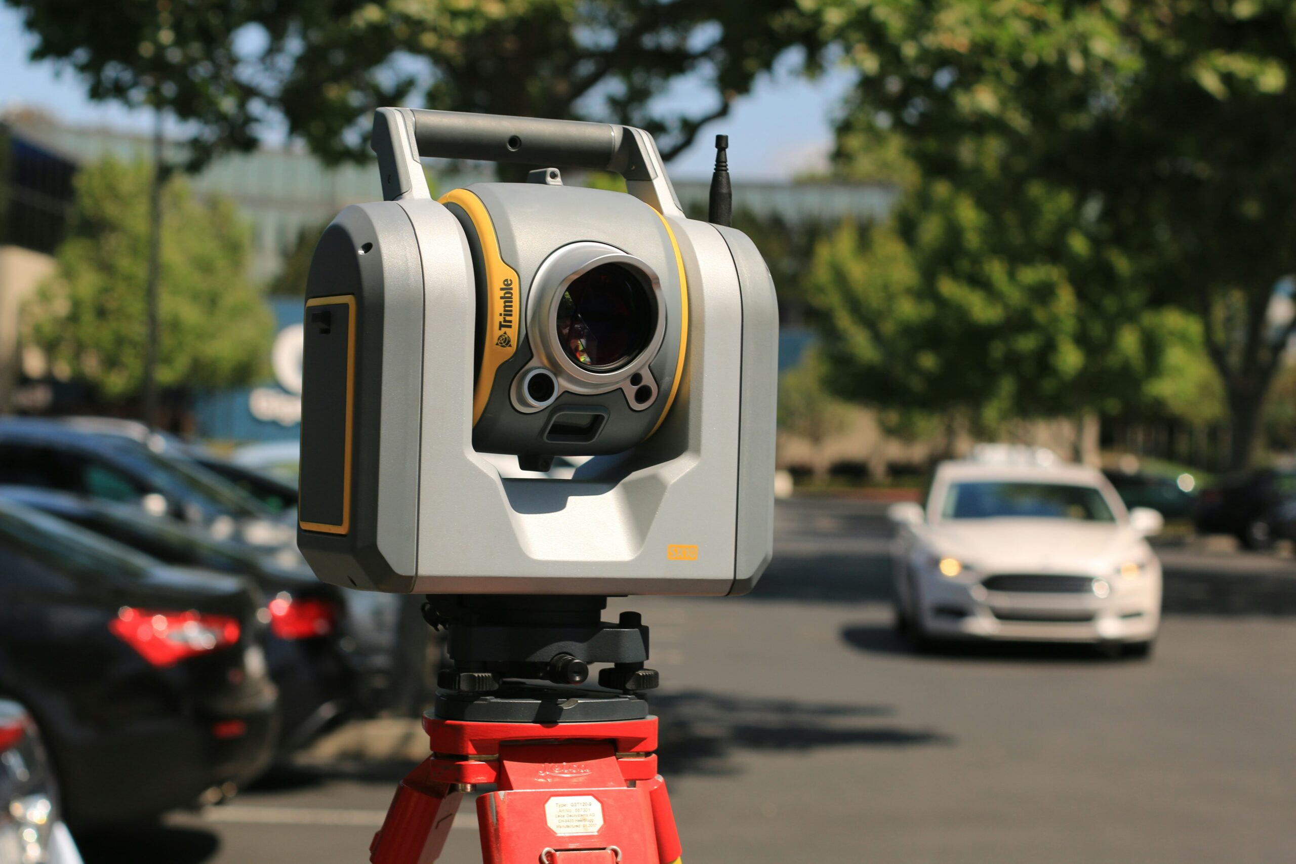
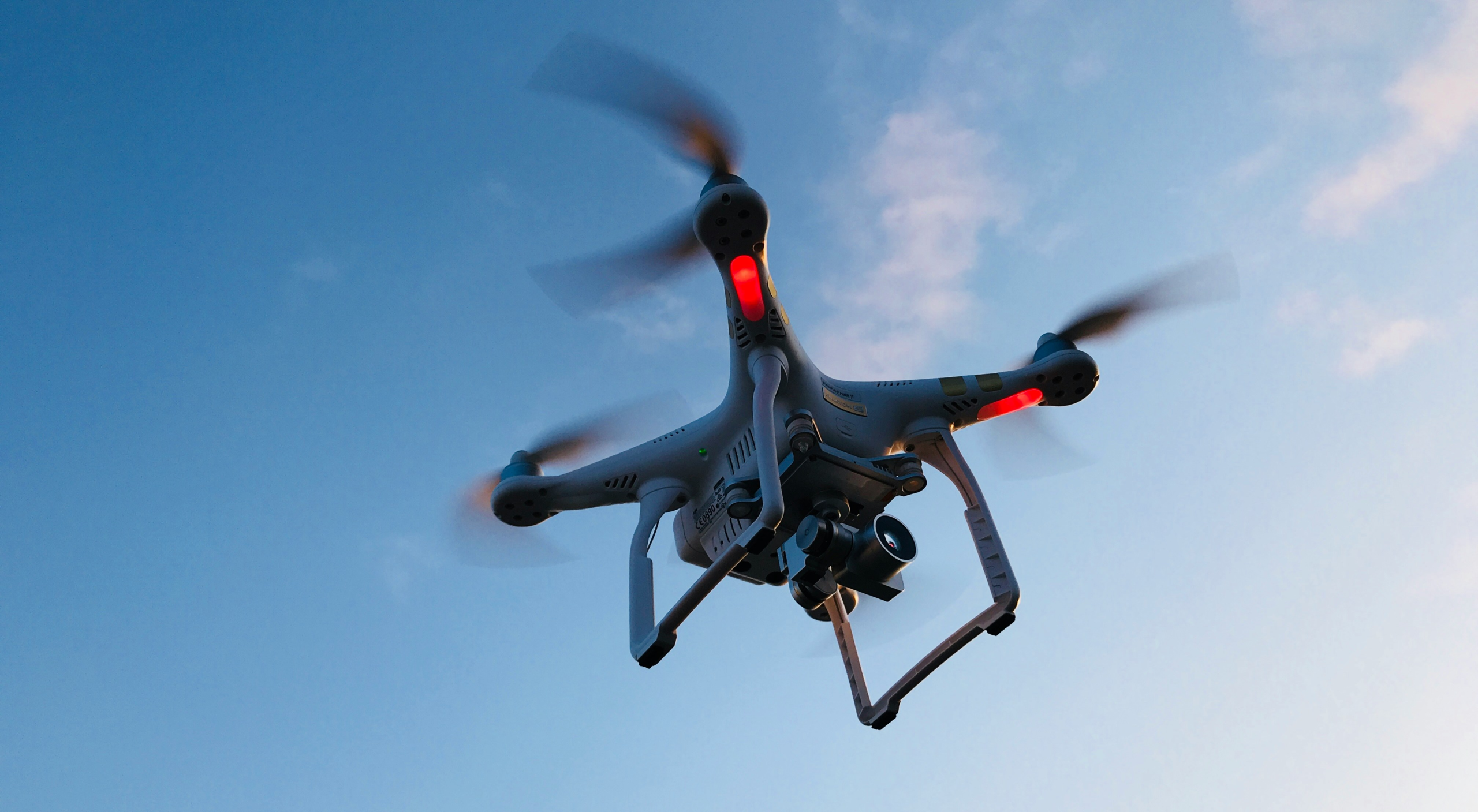
infrascan.ai brings together innovation, precision, and deep engineering expertise to deliver end-to-end infrastructure visibility — from periodic aerial inspections to continuous on-site monitoring. We combine UAV drone surveys, LiDAR scanning, and 3D digital modeling with IoT sensor networks and AI analytics, so clients can see what’s changing, understand why it’s changing, and act before issues escalate.

Our multidisciplinary team includes aerial data specialists, software engineers, and domain engineers across real estate, construction, and industrial infrastructure. We focus on reliable deliverables, transparent QA, and practical workflows.

We provide a comprehensive suite of services designed to support real estate, construction, and industrial infrastructure projects:

  • Aerial Reality Capture: drone mapping, LiDAR, orthomosaics, and as-built documentation
  • 3D & Digital Twins: point clouds and models for planning, progress tracking, and stakeholder reporting
  • IoT Monitoring: continuous sensing for humidity/temperature, leak presence, vibration, tilt/movement, and other asset-specific metrics
  • AI Analytics & Alerts: anomaly detection, threshold persistence, zone-based risk scoring, and incident timelines
  • Client Portal & Dashboards: unified views of surveys + sensors, trends over time, and exportable evidence for engineers, contractors, and insurance workflows
  • ChatGPT Image Jan 3, 2026, 04_39_17 PM
    Solutions

    Services

    Aerial Photography & Videography

    Capture stunning aerial visuals with professional-grade drones — ideal for real estate and inspections.

    Read More
    Virtual 3D Tours & 360 Walkthroughs

    Immerse clients in realistic 3D virtual tours for properties and facilities.

    Read More
    3D Scanning & Digital Floor Plans

    Generate precise 3D scans and CAD-ready floor plans for accurate design and renovation.

    Read More
    POPULAR QUESTIONS

    Frequently Asked
    Questions

    Home

    Clients receive georeferenced deliverables such as orthomosaic maps, 3D point clouds, digital surface models (DSM), and CAD-compatible files. Data can be exported for use in software like AutoCAD, QGIS, or Pix4D.

    Yes. We exclusively use U.S.-made UAVs and sensors to ensure data security, compliance, and reliability in all operations.

    Depending on project size, processed data and reports are typically delivered within 24–72 hours after data capture.

    Yes. Our inspection models are built to identify early signs of corrosion, deformation, heat stress, and vegetation interference using comparative analytics across multiple site visits.

    Get in touch

    Connect with Our Experts for Assistance Today

    We successfully cope with tasks of varying complexity, provide long-term guarantees and regularly master new technologies. Our portfolio includes do

      From Data to Decisions. We transform precise aerial, LiDAR, and IoT data into actionable insights - empowering businesses to make confident, evidence-based decisions. Through advanced analytics and AI-driven intelligence, we help organizations across infrastructure, real estate, and industrial sectors enhance safety, optimize performance, and unlock hidden value in their assets.

      © Copyright 2024 All rights reserved.

      infrascan.ai