



Description
High-Precision GNSS Sensor for Continuous Infrastructure Monitoring
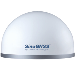
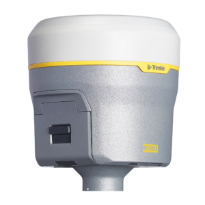
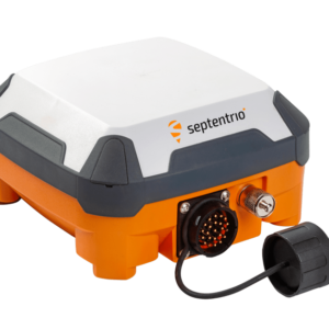
Leica GNSS Monitoring Sensor is a high-precision geodetic GNSS solution
designed for continuous, real-time monitoring of displacement and deformation
of critical infrastructure and terrain.
The sensor provides millimeter-level positioning accuracy and is widely used in
structural and geotechnical monitoring applications where long-term stability,
reliability, and real-time data availability are required.
Measured Parameters
- Horizontal displacement (X, Y)
- Vertical displacement / settlement (Z)
- Velocity and movement trends
Typical Accuracy
- Horizontal: ±1–2 mm (RTK)
- Vertical: ±3–5 mm (RTK)
GNSS Capabilities
- Multi-constellation GNSS (GPS, GLONASS, Galileo, BeiDou)
- RTK / Network RTK operation
- Designed for continuous 24/7 monitoring
Data Output & Integration
- GNSS position data (RTK)
- NTRIP correction support
- TCP/IP and network data streaming
- Compatible with monitoring platforms and dashboards
Typical Applications
- Bridge and viaduct displacement monitoring
- Pipeline and linear infrastructure monitoring
- Dams, embankments, and slopes
- Foundations and large industrial structures
- Landslide and ground movement monitoring
infrascan Integration
Leica GNSS Monitoring Sensors can be seamlessly integrated into InfraScan monitoring
systems, enabling real-time visualization, long-term trend analysis, and automated
alerts through the monitoring dashboard.
GNSS sensors are typically used as global displacement references and are combined
with tilt, crack, and vibration sensors for comprehensive structural monitoring.

Reviews
There are no reviews yet.