


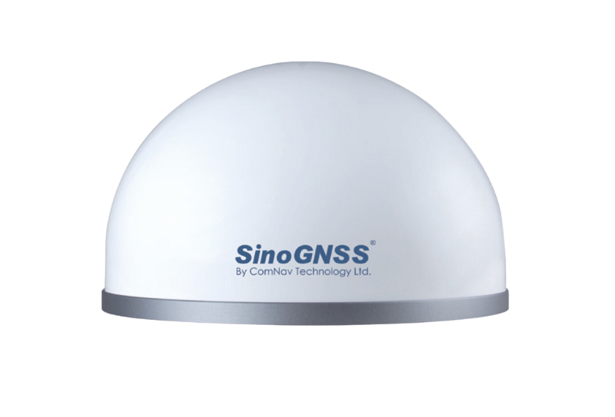
Description
Cost-Effective GNSS Receiver for Continuous Infrastructure Monitoring
SinoGNSS A300 GNSS Monitoring Receiver is a high-precision,
multi-constellation GNSS receiver designed for continuous, real-time monitoring
of displacement and deformation in structural and geotechnical applications.
The receiver is optimized for permanent installations and long-term operation.
It provides reliable millimeter-level positioning accuracy and is well suited
for monitoring projects where cost efficiency and scalability are important
considerations.
Measured Parameters
- Horizontal displacement (X, Y)
- Vertical displacement / settlement (Z)
- Displacement velocity and long-term trends
Typical Accuracy
- Horizontal: ±1–2 mm (RTK)
- Vertical: ±3–5 mm (RTK)
GNSS Capabilities
- Multi-constellation GNSS (GPS, GLONASS, Galileo, BeiDou)
- Multi-frequency GNSS tracking
- RTK and Network RTK support
- Designed for continuous 24/7 monitoring
Data Output & Integration
- GNSS position data (RTK)
- NTRIP correction support
- Ethernet-based data transmission
- Compatible with monitoring dashboards and SHM platforms
Typical Applications
- Bridge and viaduct displacement monitoring
- Pipeline and linear infrastructure monitoring
- Dams, embankments, and retaining structures
- Foundations and industrial facilities
- Landslide and ground movement monitoring
InfraScan Integration
SinoGNSS A300 GNSS Monitoring Receiver can be seamlessly integrated into InfraScan
monitoring systems, enabling real-time visualization, long-term trend analysis,
and automated alerts through the monitoring dashboard.
The A300 is typically used as a cost-effective GNSS node and is combined with
higher-end GNSS sensors, tilt meters, crack meters, and vibration sensors to
build scalable monitoring systems.

Reviews
There are no reviews yet.