

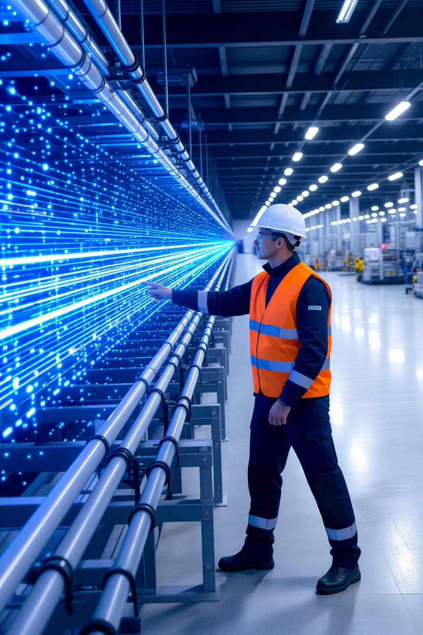
Most projects still rely on photos and tape measures. The problem? You see what’s obvious, but miss what matters.
At infrascan.ai, we capture sites with 3D scanning (LiDAR + photogrammetry) and turn them into engineering-grade data you can measure, compare, and trust.
What we capture
Geometry: millimeter-level point clouds and meshes (walls, slabs, steel, MEP).
Context: high-res imagery for visual review and documentation.
Condition: optional thermal and sensor data for moisture, heat loss, or anomalies.
What you get
True measurements (not estimates): clearances, volumes, deflection.
Change detection: compare “as-built” vs “as-designed” or month-to-month.
Actionable reporting: snapshots, markups, and CAD/GIS exports teams can use.
Why it improves outcomes
Fewer site revisits and RFIs.
Earlier issue discovery → safer decisions and lower rework.
One source of truth for owners, engineers, and contractors.
Instead of guessing from pictures, your team opens a 3D model, pins notes for contractors, exports dimensions to drawings, and moves forward with confidence.
