

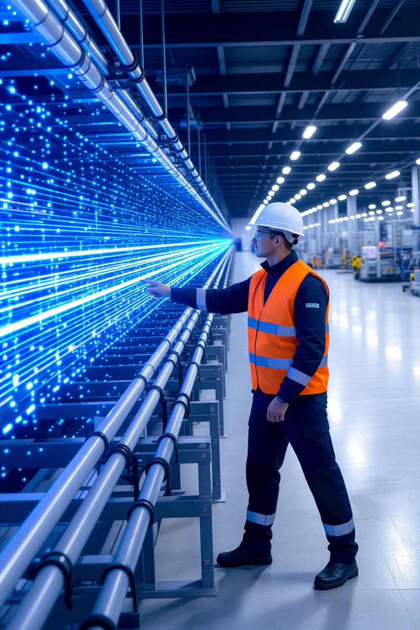
Roads, bridges, buildings, pipelines-critical assets age every day, while decisions are still made with fragmented photos, PDFs, and guesswork.
infrascan.ai helps owners and engineers move from static documents to living 3D data and digital twins that you can measure, annotate, and track over time.
What this looks like in practice
-We capture an asset (exterior + interior) and build an engineering-grade 3D model.
-You get precise measurements, change detection, and issue tracking in one place.
-Teams collaborate remotely, reducing site visits and safety risks.
Why it matters
-Accuracy: millimeter-level geometry beats “eyeballing” with tape and photos.
-Speed: faster inspections and clearer RFIs keep projects on schedule.
-Savings: early detection of deformation, moisture, or cracking prevents costly failures.
A simple example
Instead of walking a facility with a clipboard, your team opens a model, checks clearances, measures slab deflection, pins notes for contractors, and exports snapshots to reports-no re-visits, no confusion.
Our mission
To turn physical assets into reliable, actionable data so decisions become faster, safer, and smarter.
Based in Brooklyn, serving NY/NJ/CT and beyond
hashtagsmartinfrastructure hashtagdigitaltwin hashtag3Dscanning hashtagassetmanagement hashtagcivilengineering hashtagconstructiontech hashtagfacilitymanagement hashtagbuiltworld

1 Comment
goood