


Description
High-Stability Digital Tilt Sensor for Long-Term Structural Monitoring
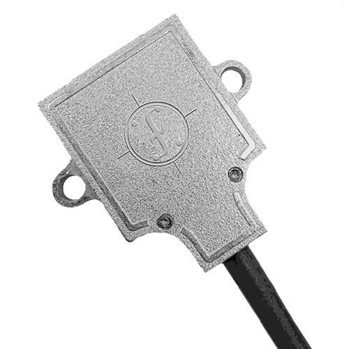
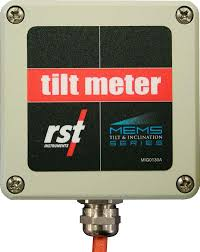
Fredericks Digital Tilt Sensor is a high-stability inclination
sensor designed for continuous, real-time monitoring of tilt and loss of
verticality in buildings, foundations, and civil infrastructure.
The sensor is optimized for permanent installations and long-term monitoring
projects where measurement stability, low drift, and reliable digital data
output are critical. It is well suited for detecting slow structural movements
and differential settlement.
Measured Parameters
- Tilt angle / inclination
- Loss of verticality
- Long-term rotational trends
Typical Accuracy
- Tilt accuracy: ±0.01–0.05° (model-dependent)
- Excellent long-term stability
- Low temperature drift
Sensor Capabilities
- High-stability MEMS / electrolytic tilt sensing technology
- Designed for static and quasi-static measurements
- Continuous 24/7 operation
- Optimized for structural monitoring
Data Output & Integration
- RS-485 digital interface
- Suitable for long cable runs
- Reliable data transmission for monitoring networks
- Compatible with monitoring dashboards and SHM platforms
Typical Applications
- Building and foundation monitoring
- Retaining walls and embankments
- Bridges and civil infrastructure
- Columns, piers, and load-bearing elements
infrascan Integration
Fredericks Digital Tilt Sensors integrate seamlessly into InfraScan monitoring
systems, providing stable real-time tilt data, long-term trend analysis, and
automated alerts for early detection of structural movement.
These sensors are typically deployed alongside GNSS displacement sensors and
crack meters to distinguish between global displacement and local structural
rotation.

Reviews
There are no reviews yet.